
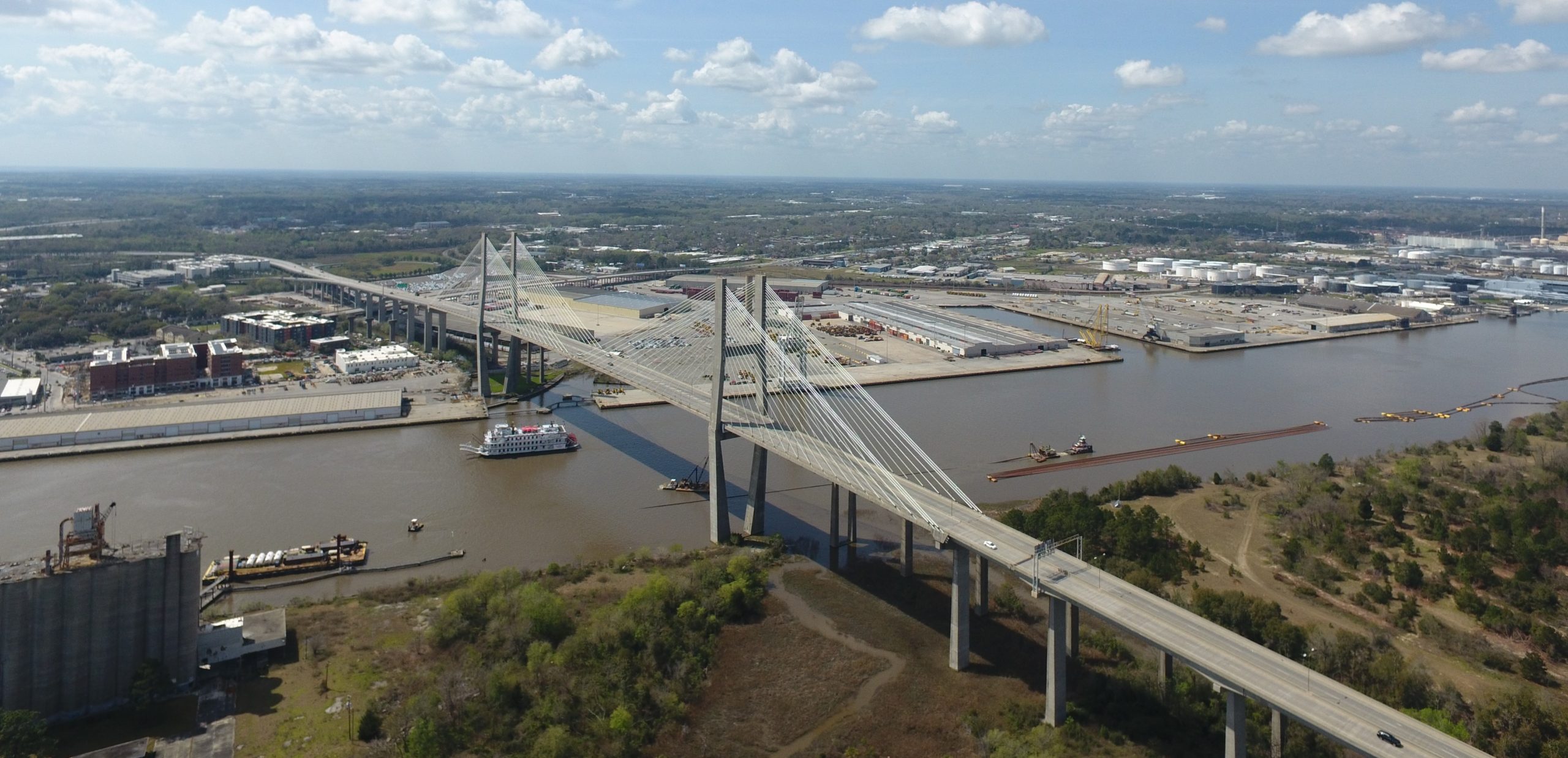
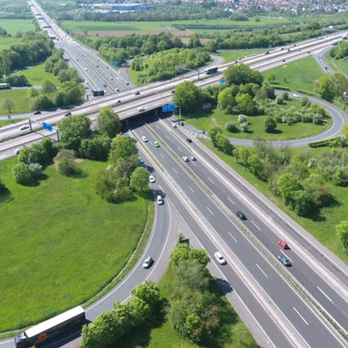
Settimio Consulting Services, Inc. (SCS) is a woman-owned, DBE certified firm that provides professional services in Photogrammetry, Lidar, GIS, and other remote sensing services. SCS’ vision is to provide cost-effective and innovative mapping services and products to all Engineers, Surveyors, Scientists, and GIS professionals. SCS is a small business that started in March of 2009 and has built a history of quality and performance with the completion of Federal, State, County, and D.O.T. projects. SCS, with our strategic partners, is a full-service photogrammetry and remote sensing firm. SCS has experience in using Photogrammetry and merging data with Fixed Wing, Rotary Wing, and Mobile Lidar. SCS has grown quickly performing on large and small projects. SCS has the expertise to perform D.O.T., GIS, and Civil Site projects. SCS uses state of the art Fixed Wing, Rotary Wing, and Mobile Lidar with imagery technology for rapid accurate performance on projects.
About SCS

Who We Are
Why SCS?
Settimio Consulting Services, Inc. is a high-tech Lidar and mapping firm with over 40 years of experience in professional Lidar, Photogrammetry, GIS, and remote sensing services. We provide cost-effective and innovative mapping services and products. Settimio Consulting Services, Inc. started in March of 2009 to offer creative Lidar processing and CAD services to federal, state, and private industries. We provide a full array of photogrammetric and remote sensing services from digital image processing and photogrammetry. Settimio Consulting Services, Inc. has performed on many GDOT and other public agency projects throughout the Southeast, and we have been at the forefront of technology. We use advanced Aerial/Mobile Lidar technology to reduce the cost of projects while maintaining accuracy and performance for mapping projects. Our company is dedicated to each project with the most skilled, experienced, and knowledgeable professionals in the business.
Our technical personnel provides services in the fields of:
Engineering Photogrammetric Services
Coastal Mapping
Topographic Mapping
Mobile, Helicopter, and Fixed Wing Lidar
Unmanned Aerial System
Underwater Unmanned Vehicle
Digital Imagery
Land Survey
Professional Support


Terms of Service | Privacy Policy