
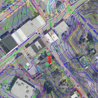
East Sparta
East Sparta Bypass (2016) and (2018)
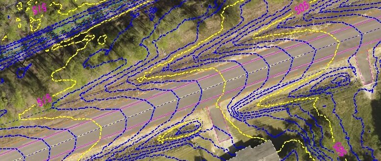
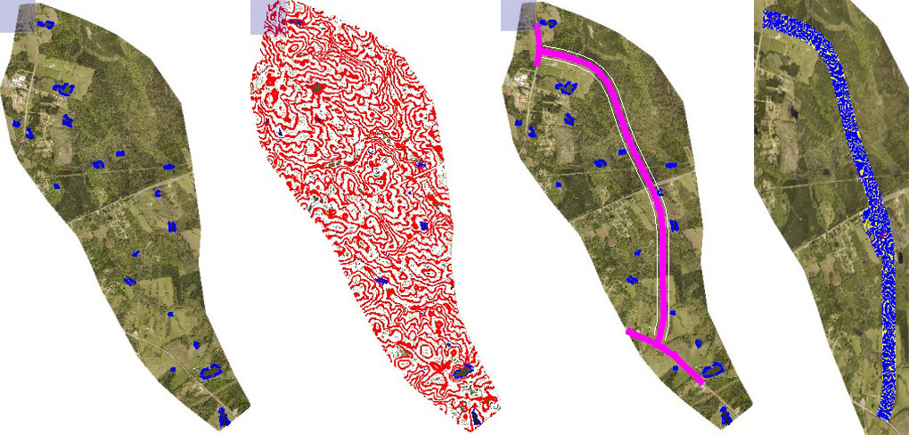
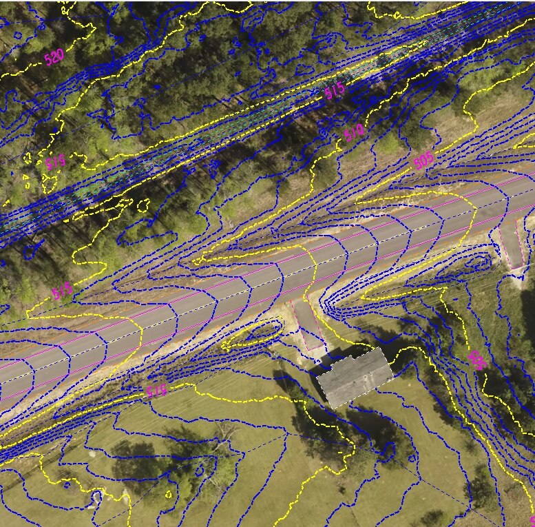
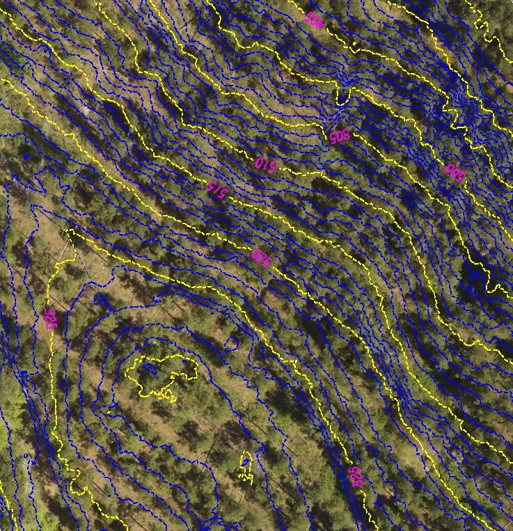
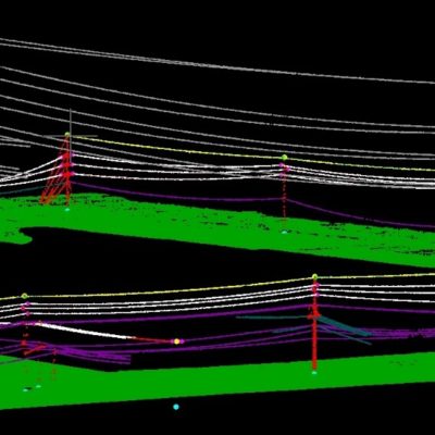
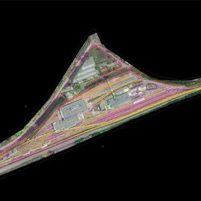
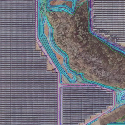
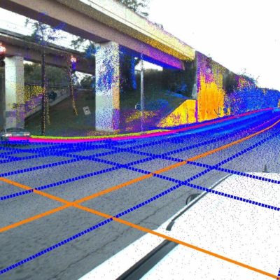
SCS flew a 2500 Acre area East of the City of Sparta and produced a concept level 1’ contour mapping file with outlied water bodies. Acquistion was collected with PDOT close to 2 and a local base station setup for GPS corrections to minimize random errors. The relative accuracy of the LiDAR data was .02’ so that once the alignment could be determined, the LiDAR data could be reprocessed and corrected for engineering level survey grade mapping for final design. Initially, access to the property was challenging so only 8 ground control points were used for the ground survey effort. After the alignment was determined, a GDOT Spec database was delivered with enhanced control.
Related Projects


© 2020 Settimio Consulting Services, Inc. All Rights Reserved.
Terms of Service | Privacy Policy
Terms of Service | Privacy Policy
Connect with us: