
Gulf Power Topographic Mapping
Gulf Power Topographic Mapping
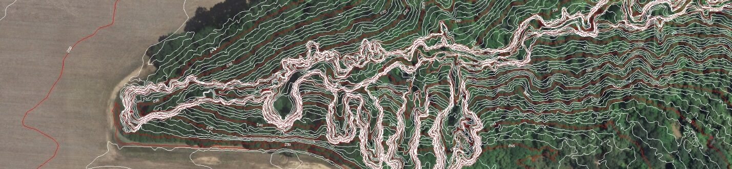
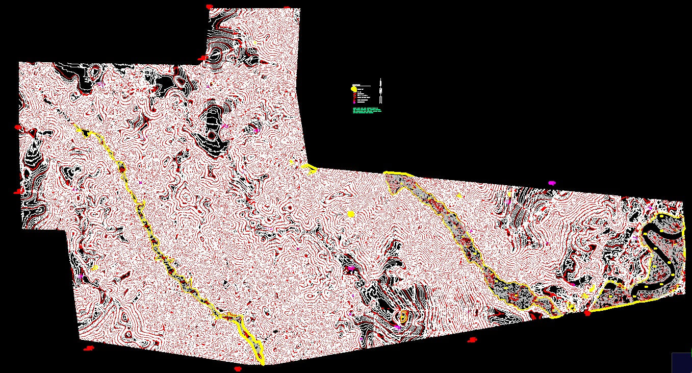
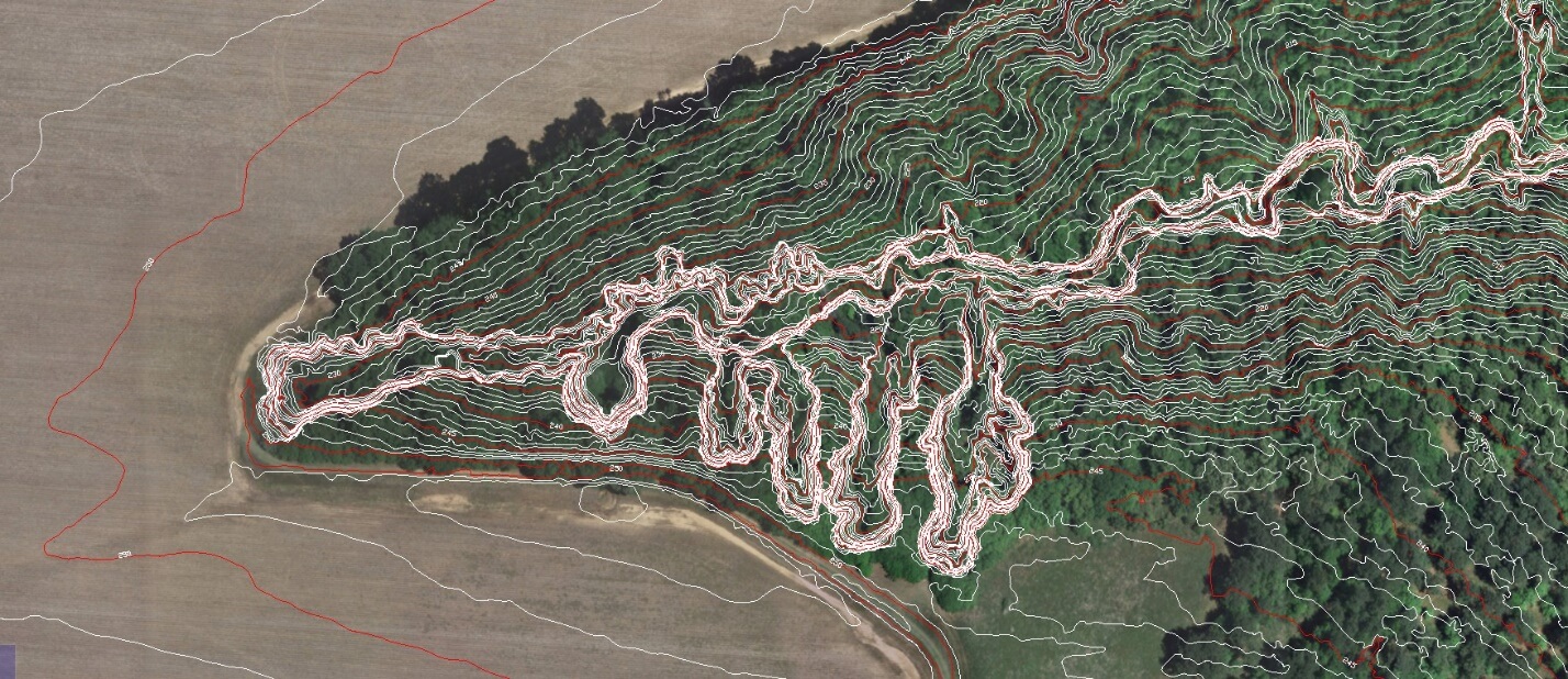
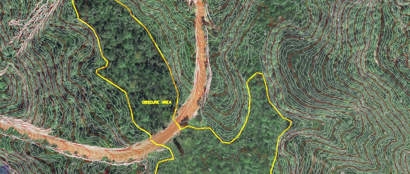
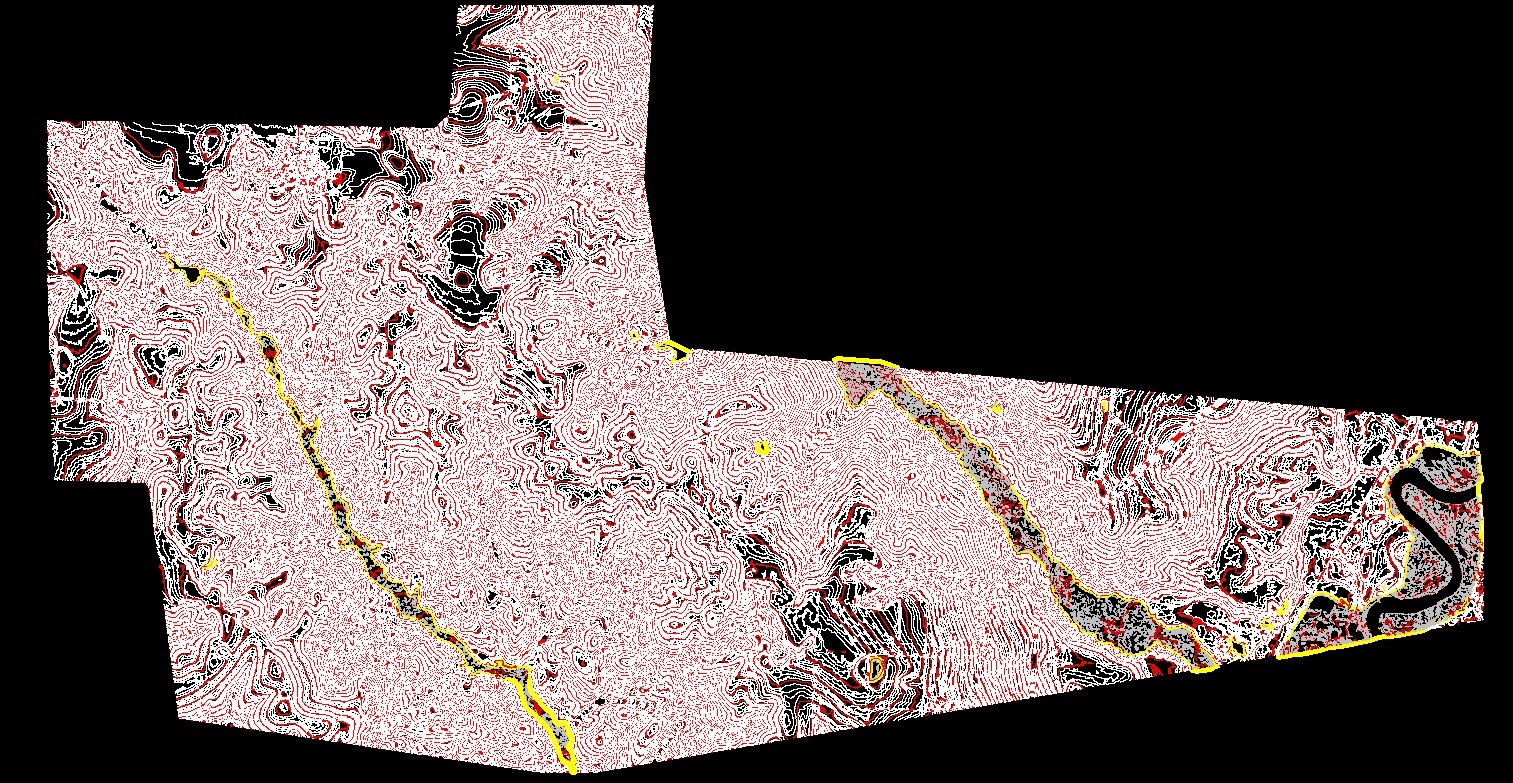
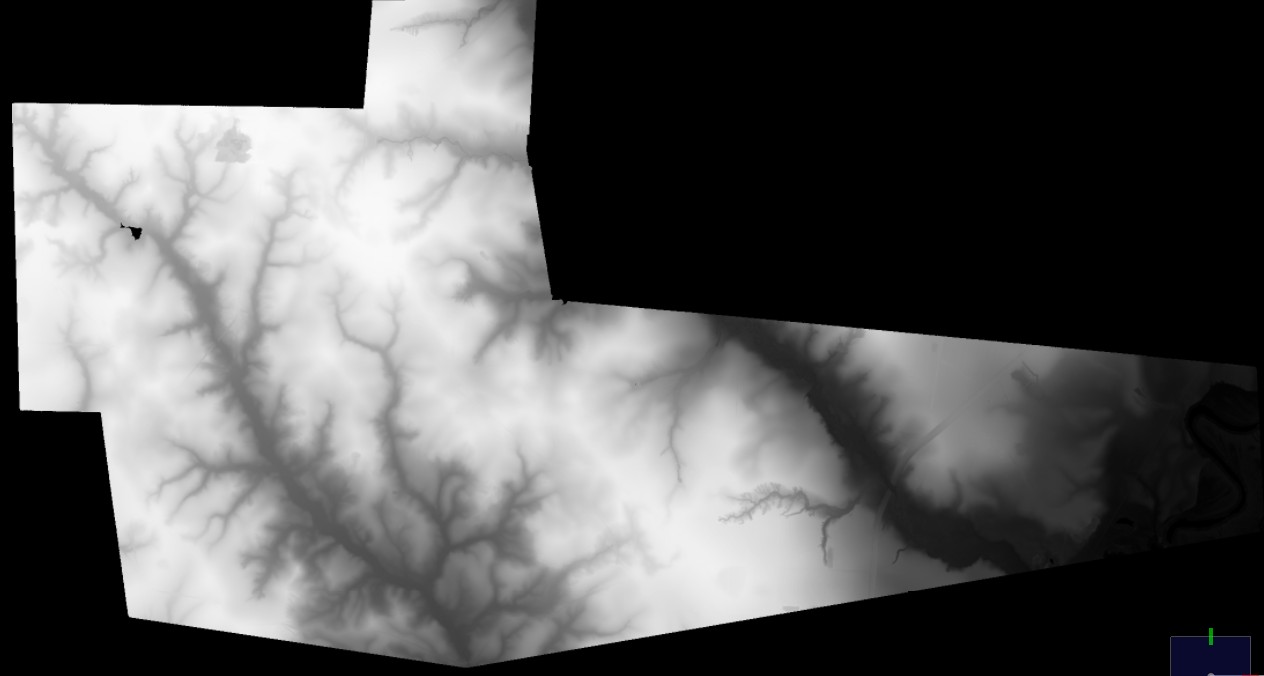
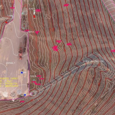
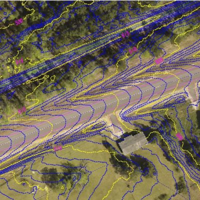
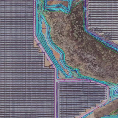
8,800 Acres- North Escambia County, FL (2018)
SCS Acquired Low altitude LiDAR to penetrate summertime mixed vegetation. A DTM and contours were generated for the entire site, including wetlands. Obscure areas were limited to wetland areas for field verification. 25 Checkpoints were collected across the site. The accuracy assessment results demonstrated a 95% Confidence Factor (2σ) of .35’.
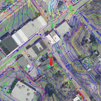
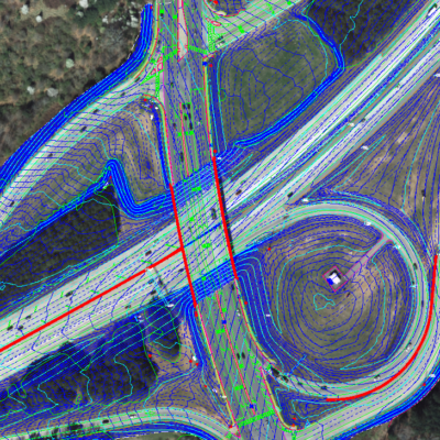
Related Projects

© 2020 Settimio Consulting Services, Inc. All Rights Reserved.
Terms of Service | Privacy Policy
Terms of Service | Privacy Policy
Connect with us: