
Georgia State Route 20 Loganville
Georgia State Route 20 Loganville Hwy
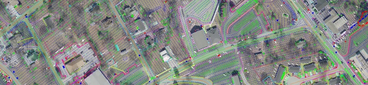
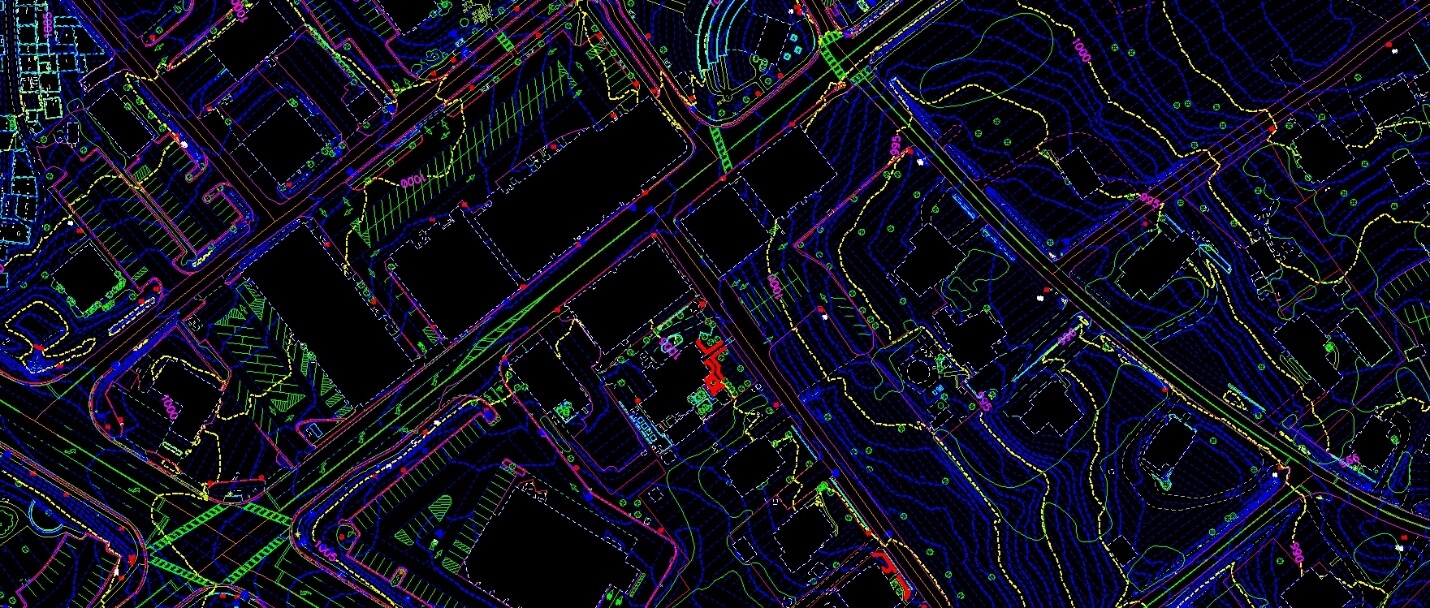
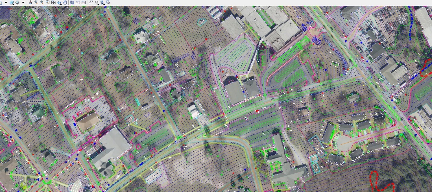
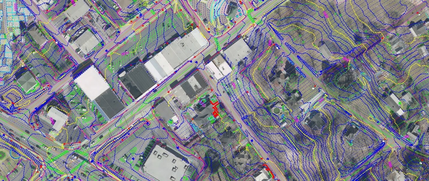
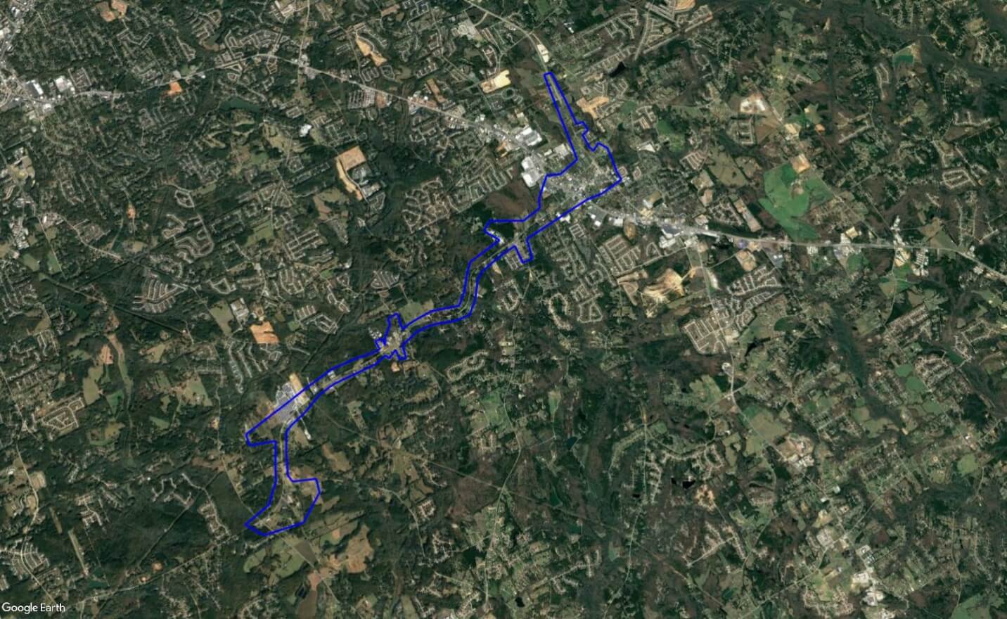
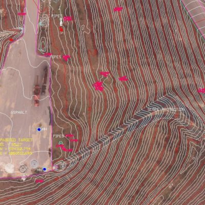
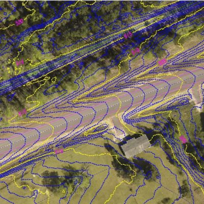
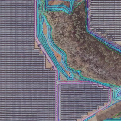
SCS was responsible for providing a complete mapping database for over 9 Miles of a heavily urbanized traffic corridor with a small city center. The project also required ground TOPO accuracy of .5′ with pavement accuracies better than .1′ and a high-resolution color digital ortho. The remains of interesting artifacts were discovered while performing on this project, when LiDAR detected an extremely flat surface underneath heavy mature vegetation. When investigated further, it turned out to be the remains of an old WW 2 airfield setup temporarily during WW 2 for training, and later abandoned and long forgotten.
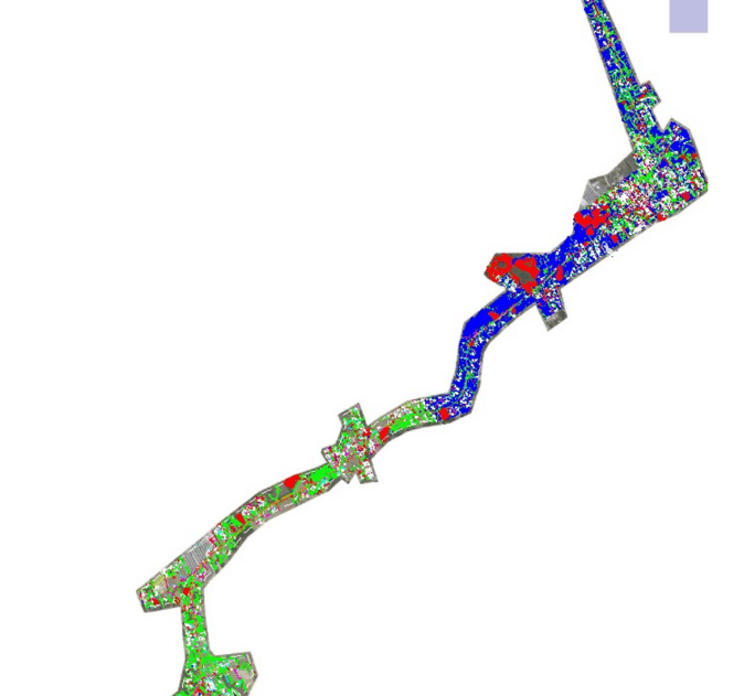
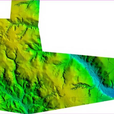
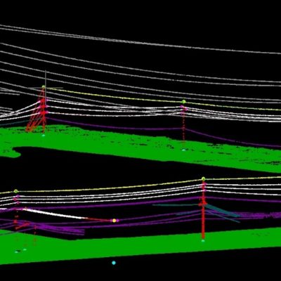
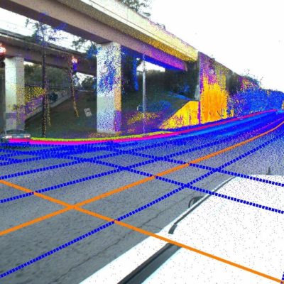
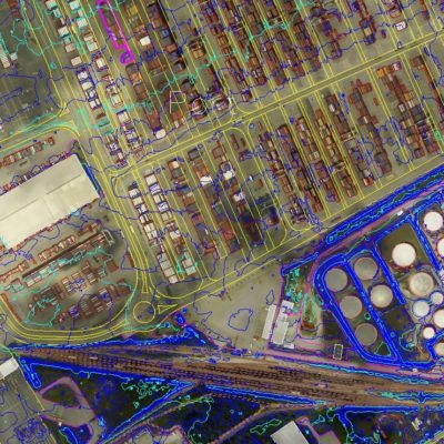
SCS used Aerial LiDAR and digital imagery to collect a 1” =50’ mapping and 1’ contour DTM. Targets were placed on the road shoulders for high resolution pavement measurements of better than .1’. SCS collected all roadway markings, visible utilities, buildings, and drainage features.
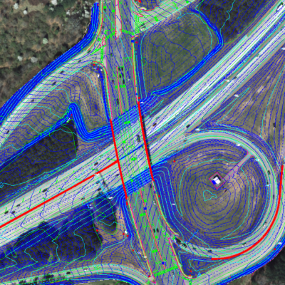
SCS delivered a Microstation and Inroads database with the appropriate GDOT EDG. The accuracy achieved for all road travel lanes and bridges was .02′ relative accuracy, 95% confidence factor of .08′ on paved surfaces.
Related Projects


Terms of Service | Privacy Policy