
Perdido Landfill Volumetric Mapping
Perdido Landfill (2018)
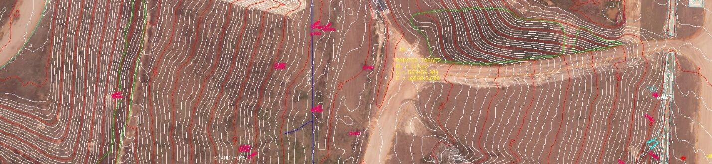
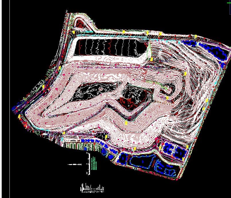
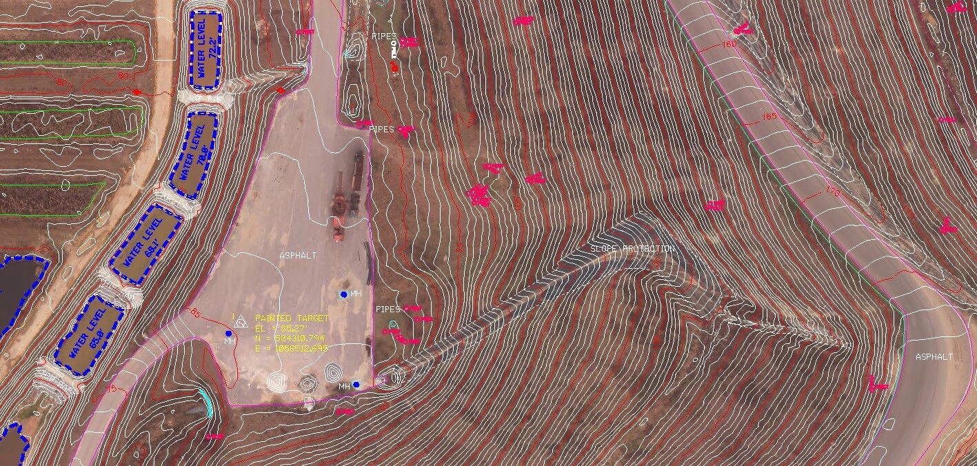
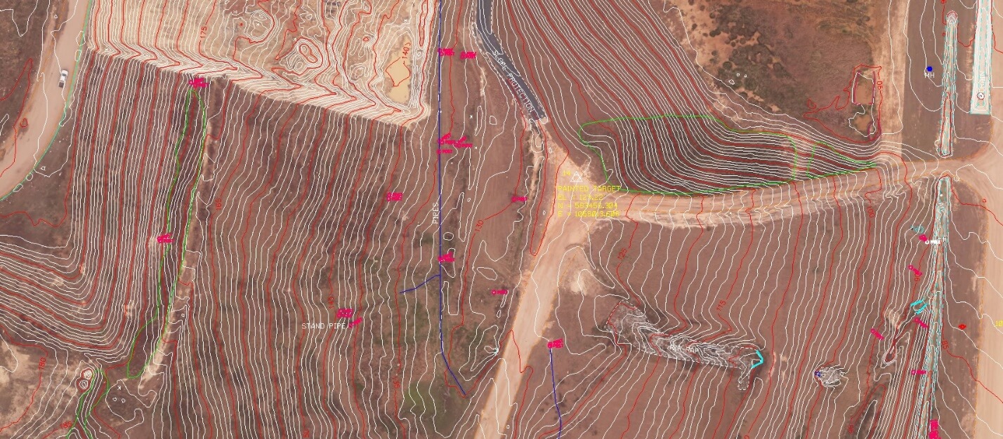
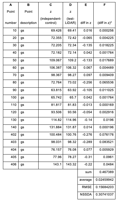
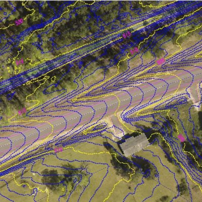
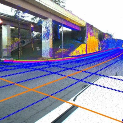
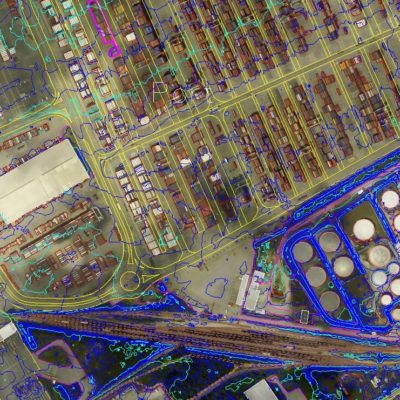
SCS flew the Perdido Landfill in January 2018. SCS used LiDAR and Digital imagery to collect a 1’ contour map and .25’ Color digital ortho for the Landfill. SCS performed an NSSDA accuracy assessment using checkpoints scattered throughout the sight on challenging areas like slopes and tall grass. The accuracy assessment results demonstrated a 95% Confidence Factor (2σ) of .31’ a site with highly variable terrain.
Related Projects

© 2020 Settimio Consulting Services, Inc. All Rights Reserved.
Terms of Service | Privacy Policy
Terms of Service | Privacy Policy
Connect with us: