
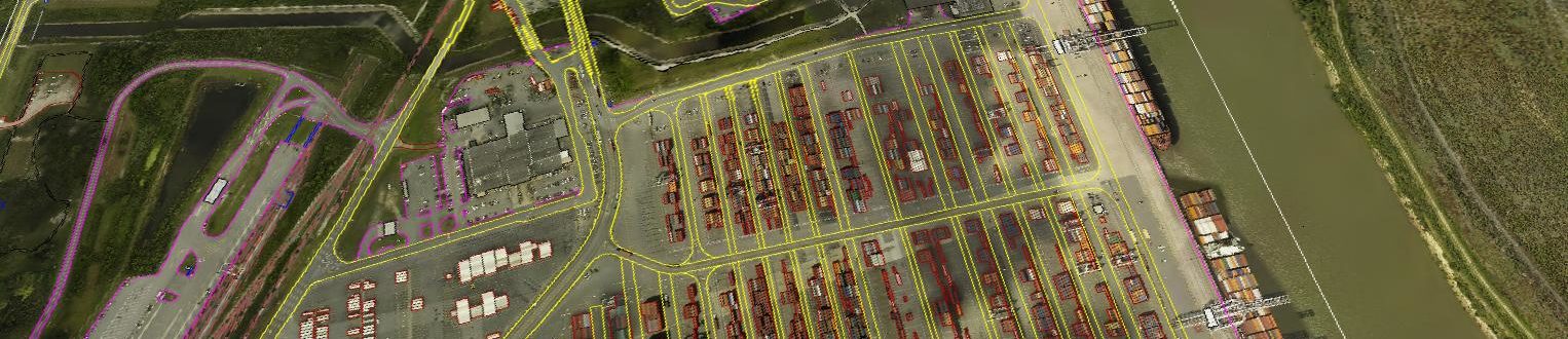
Port of Savannah
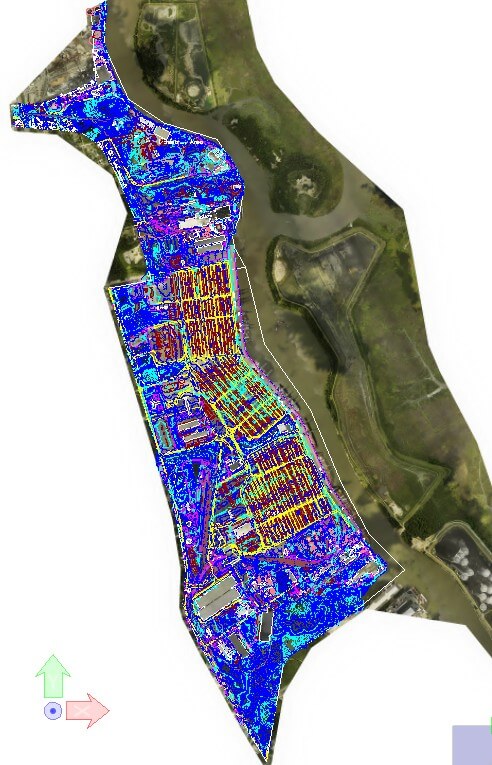
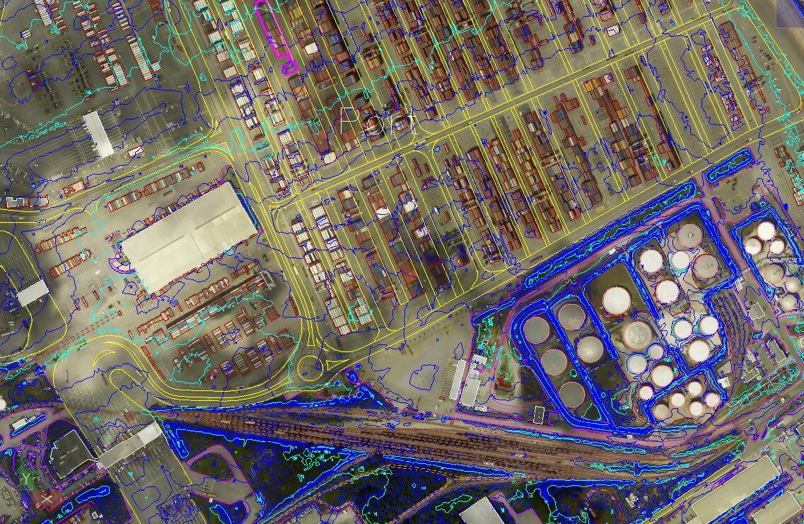
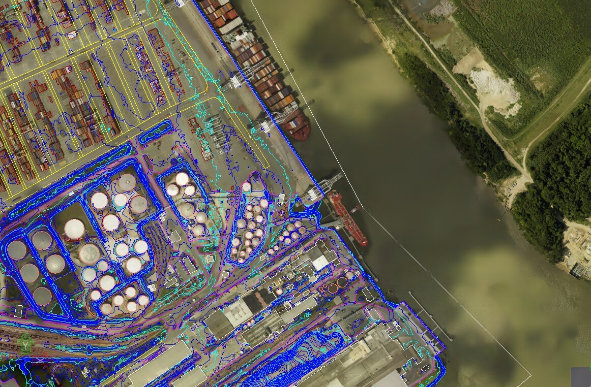
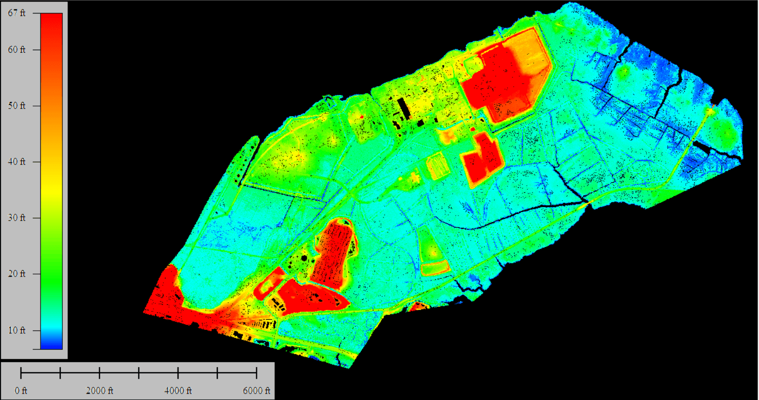
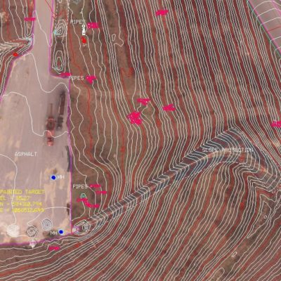
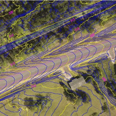
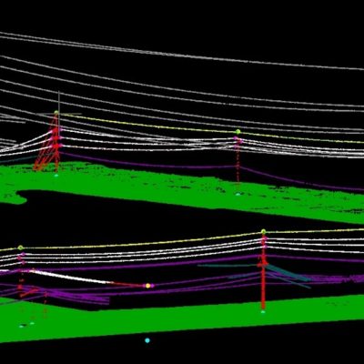
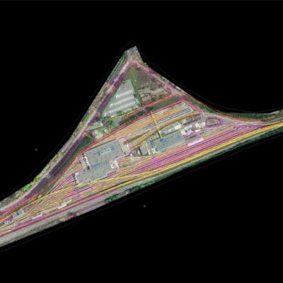
Savannah Port Facilities and Spoils pile mapping (2016)
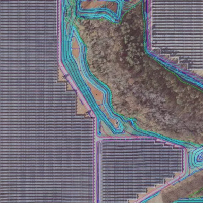
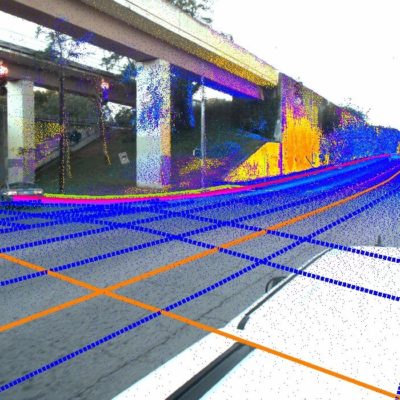
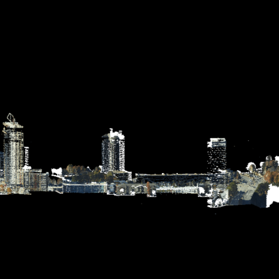
SCS was contracted to fly the Port of Savannah facilities and Spoils piles. The site was flown with a Zeiss DMC and High Accuracy LiDAR. The facilities were mapped at 1”=50’, with pavement markings. All improved surfaces were collected for better than .1’ accuracy. With natural ground features to within .33’.
Related Projects

© 2020 Settimio Consulting Services, Inc. All Rights Reserved.
Terms of Service | Privacy Policy
Terms of Service | Privacy Policy
Connect with us: