

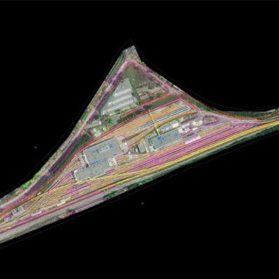
Georgia State Route 400 Comprehensive Mapping
Georgia State Route 400 (2018)
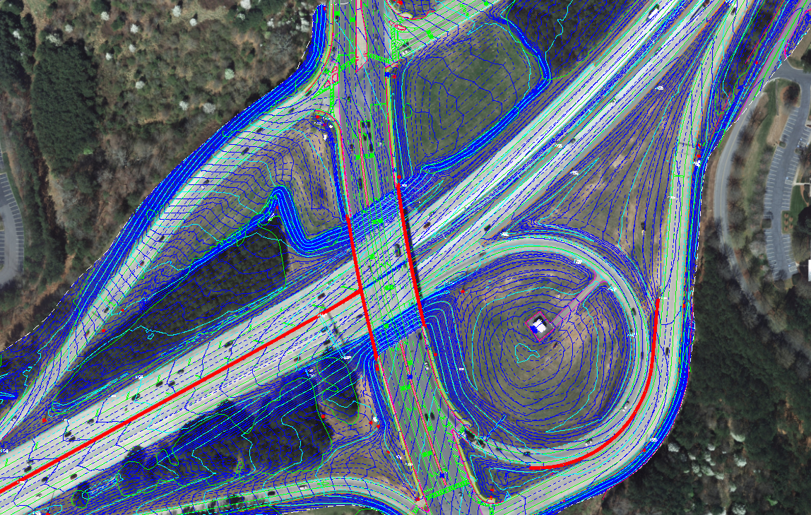
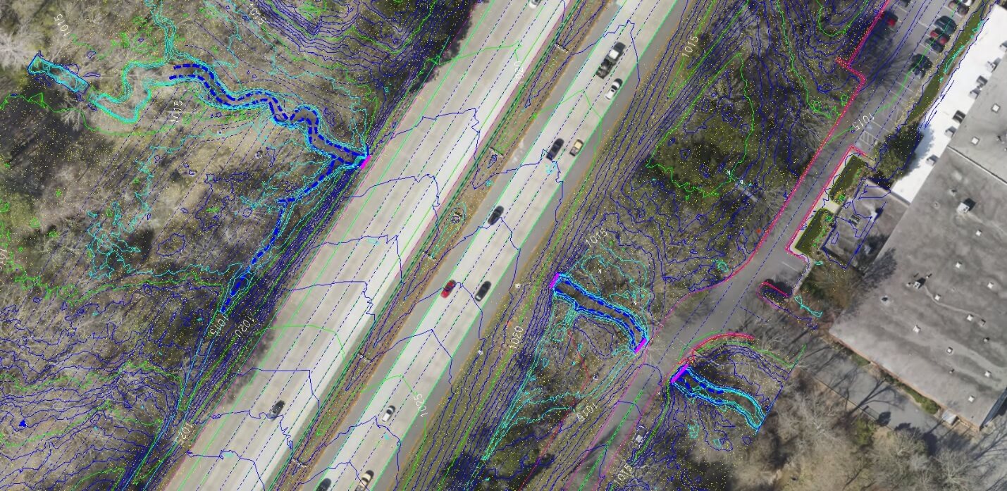
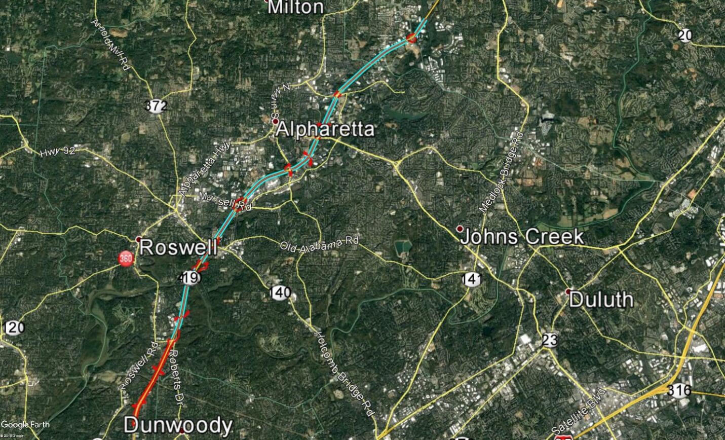
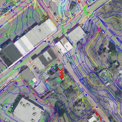
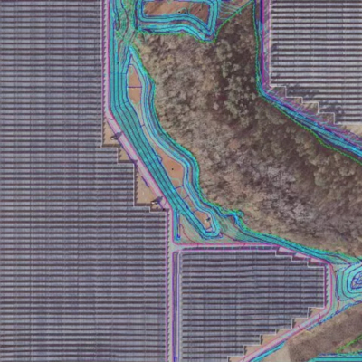
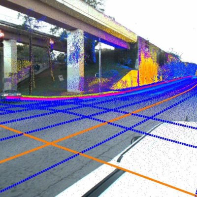
SCS was responsible for providing a complete mapping database for over 15 Miles of a heavily urbanized traffic corridor. The project also required ground TOPO accuracy of .5′ with pavement accuracies better than .1′ and a high-resolution color digital ortho. The data needed to be accurate and collected quickly to meet the critical path schedule of downstream events that relied on good mapping and pavement data.
SCS used LiDAR technology from different platforms including mobile and aerial to help resolve the challenges associated with this high-profile project with an aggressive schedule. Both low altitude rotary wing and autonomous vehicle mobile LiDAR was used to determine the relative and absolute accuracy of the surface of the ground terrain, roadway, under bridges and bridge decks.
SCS delivered a Microstation and Inroads database with the appropriate GDOT EDG. The accuracy achieved for all road travel lanes and bridges was .02′ relative accuracy, 95% confidence factor of .08′ on paved surfaces.
Related Projects


Terms of Service | Privacy Policy