
Walton County Solar Mapping
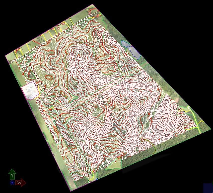
Walton County (2015)
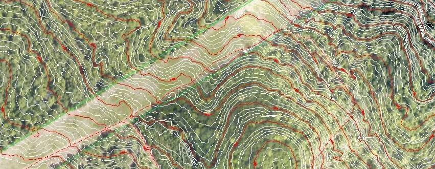
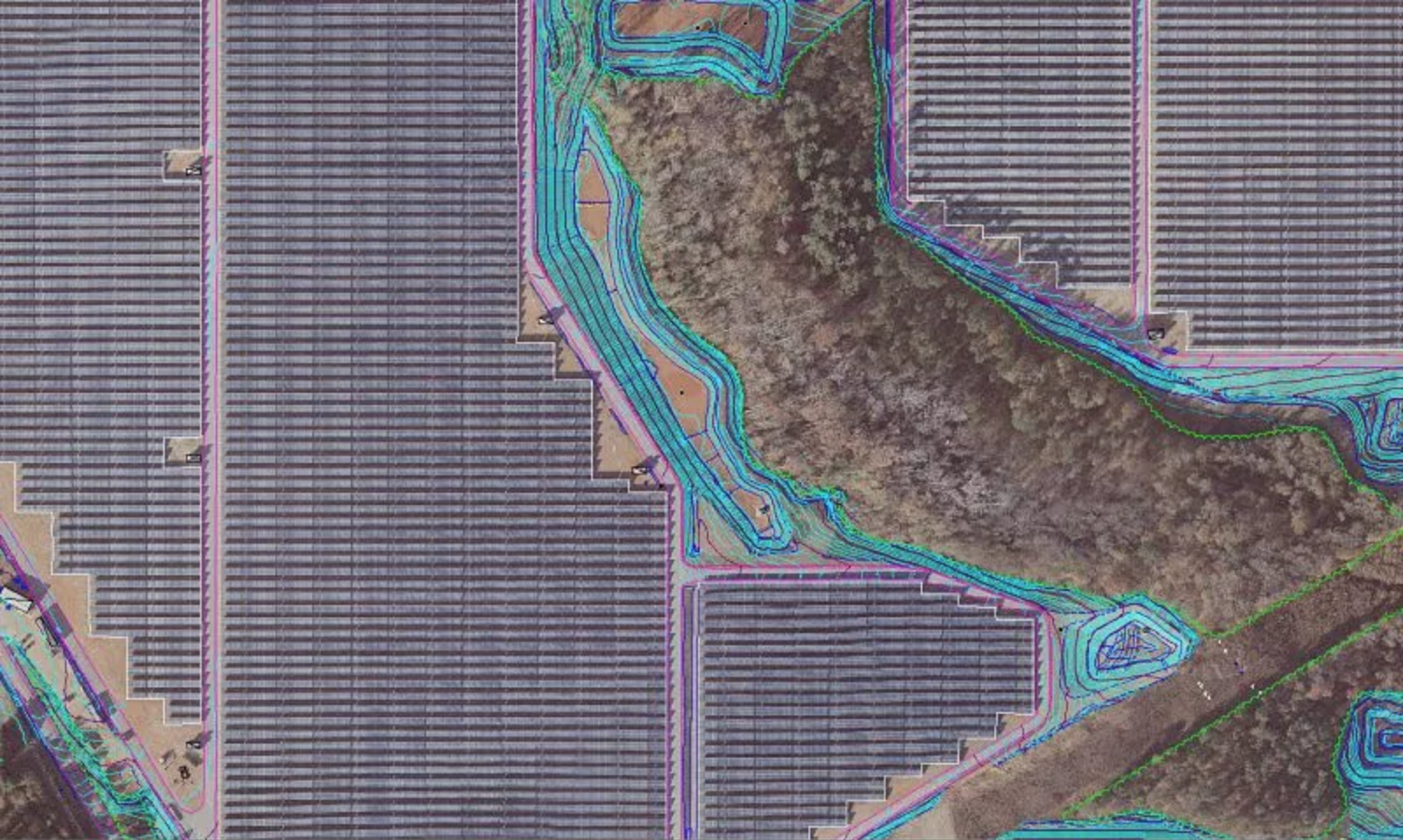
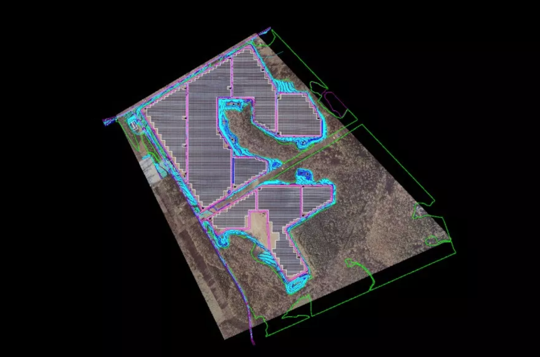
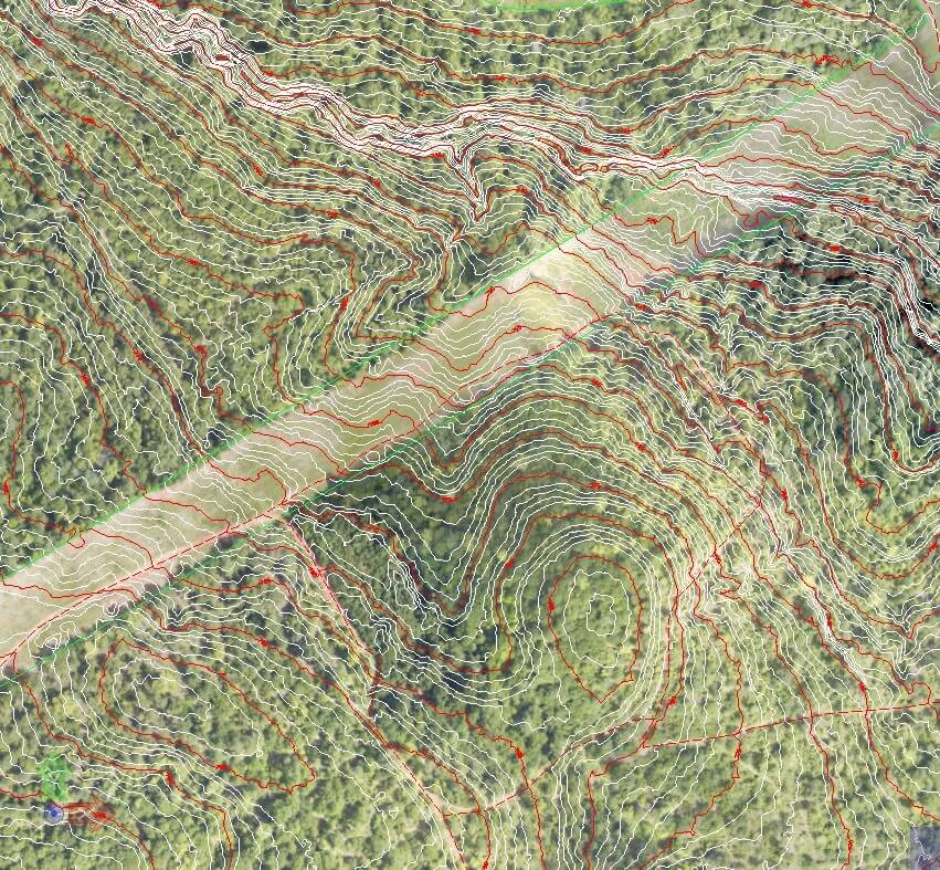
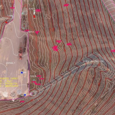
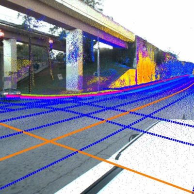
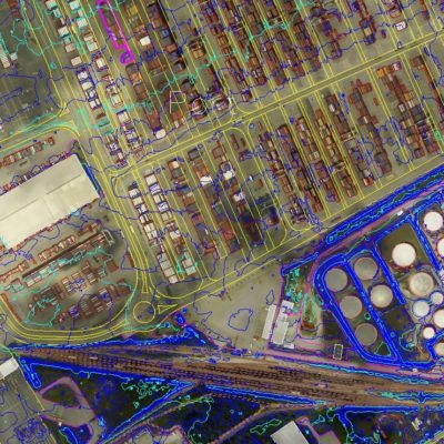
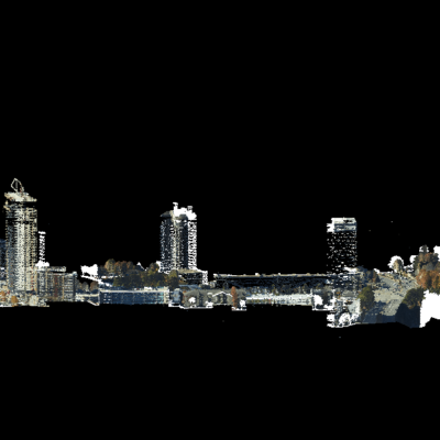
SCS acquired summer-time low altitude LiDAR to produce a 1” =100’ map with 1’ contours for 250 Acre Solar site within 30 days. The LiDAR TIN accuracies were checked with cross sections and achieved absolute accuracy of .17’ for 95% confidence factor of .33’ (2σ). SCS than did an as-built map of the site when it was completed over a year later.
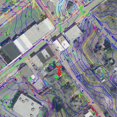
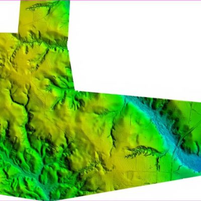
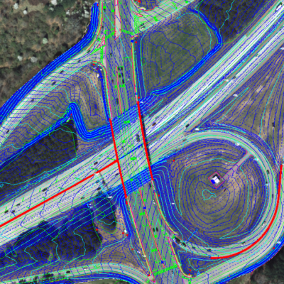
Related Projects

© 2020 Settimio Consulting Services, Inc. All Rights Reserved.
Terms of Service | Privacy Policy
Terms of Service | Privacy Policy
Connect with us: