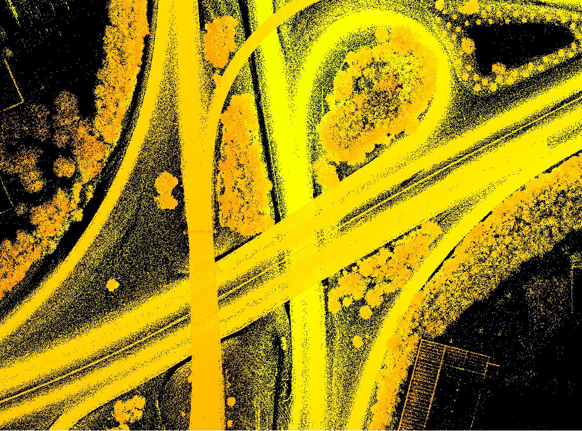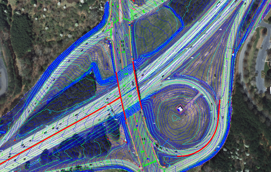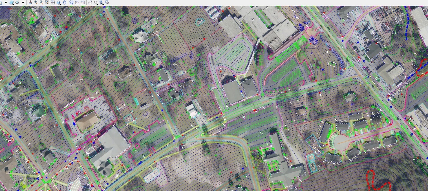
Although technology has changed over the years, working directly with Lidar point cloud data is still difficult and not fully exploitable by most mainstream software packages. SCS has the expertise to manipulate and manage large point cloud data sets and produce actionable Engineering information.
SCS’ vision is to remain on the front end of technology and its implication on the Mapping and Geospatial Industry. We will continue to do this by focusing on our core competency – Lidar, Photogrammetry, and GIS while continuing to develop long term relationships with Engineering and Surveying firms.