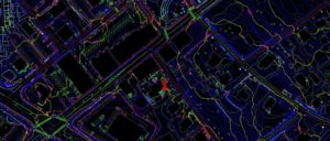

Settimio Consulting Services, Inc. is a woman-owned, DBE certified firm that provides professional services in Photogrammetry, LIDAR, GIS, and other remote sensing services. SCS’ vision is to provide cost-effective and innovative mapping services and products to all Engineers, Surveyors, Scientists, and GIS professionals…
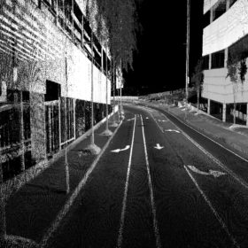
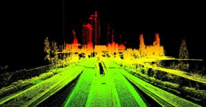
Although technology has changed over the years, working directly with point cloud data is still…
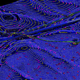
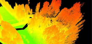
LIDAR is a topographic remote sensing technology that works by sending laser pulses into a multitude…

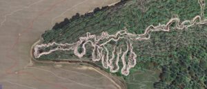



A woman-owned, DBE certified firm that provides professional services in Photogrammetry, LIDAR, G.I.S., and other remote sensing services.
Corporate Office: 2401 Executive Plaza Drive Suite 3A Pensacola, FL 32504
Georgia Office: 3250 Peachtree Corners Circle, Suite J, Norcross, GA 30092
Phone: 850-341-0507
Email: info@scs-mapping.com
Learn about our team of professionals and how we work together.