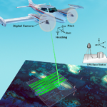
Fixed wing– A fixed-wing aircraft is a flying machine, such as an airplane, which is capable of flight using wings that generate lift caused by the aircraft’s forward airspeed and the shape of the wings. Fixed-wing aircraft are distinct from rotary-wing aircraft, and ornithopters.
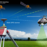
Rotary wing– A heavier-than-air flying machine that uses lift generated by wings, called rotary wings or rotor blades, that revolve around a mast. Several rotor blades mounted on a single mast are referred to as a rotor.
UAVs– An unmanned aerial vehicle, commonly known as a drone, is an aircraft without a human pilot aboard. UAVs are a component of an unmanned aircraft system; which include a UAV, a ground-based controller, and a system of communications between the two.
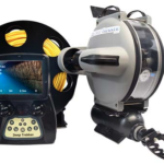
UUVs– An unmanned underwater vehicle (UUV), sometimes known as underwater drones, are any vehicles that are able to operate underwater without a human occupant. These vehicles may be divided into two categories, remotely operated underwater vehicles (ROVs), which are controlled by a remote human operator, and autonomous underwater vehicles (AUVs), which operate independently of direct human input.
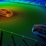
Mobile LIDAR– The process of collecting geospatial data from a mobile vehicle, typically fitted with a range of photographic, radar, laser, LIDAR or any number of remote sensing systems. Such systems are composed of an integrated array of time synchronized navigation sensors and imaging sensors mounted on a mobile platform.


A woman-owned, DBE certified firm that provides professional services in Photogrammetry, LIDAR, G.I.S., and other remote sensing services.
Corporate Office: 2401 Executive Plaza Drive Suite 3A Pensacola, FL 32504
Georgia Office: 3250 Peachtree Corners Circle, Suite J, Norcross, GA 30092
Phone: 850-341-0507
Email: info@scs-mapping.com
Learn about our team of professionals and how we work together.