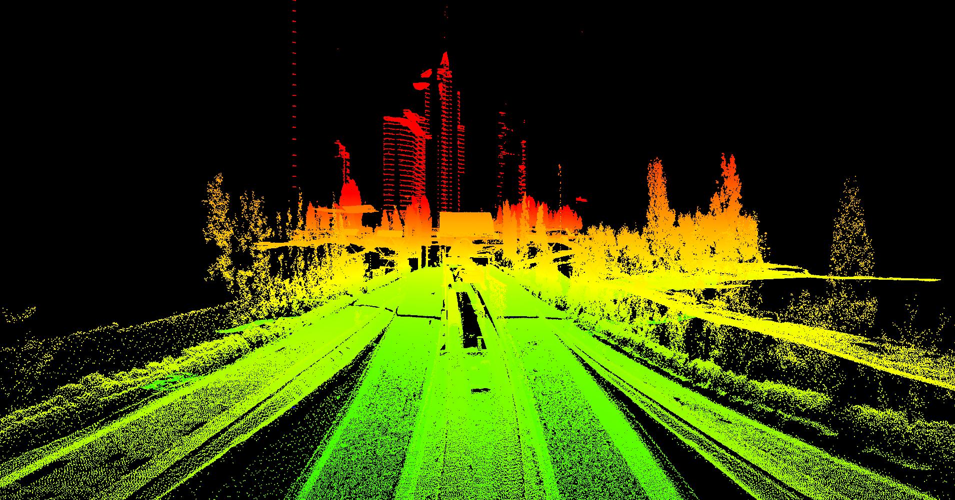
Lenox Park over SR 400 Buckhead, GA
SCS acquired Aerial and Mobile LiDAR for Lenox Park over SR 400. SCS fused Mobile and Aerial LiDAR and used digital imagery to produce to a 3D Engineering deliverable in Microstation and InRoads. Vector data was delivered at 1”=20’ Scale and accuracies better than .09’. The 3D model was used for designing a park over SR 400 which allowed the engineers to design based on all critical design obstacles spatially correct and included in deliverable


